RARE AND ANTIQUE MAPS OF AUSTRIA & THE AUSTRIAN EMPIRE |
Thumbnail
(Click to enlarge) |
Title / Publisher
Date
Size
|
| 
click thumbnail for more info
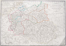
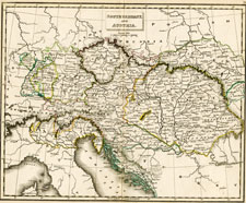
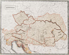
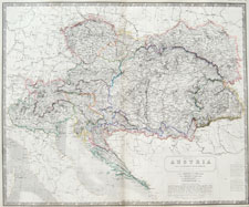
AUSTRIA-1 |
Paris, 1812 (1818)
approx. 19 x 13 inches
|
| 
click thumbnail for more info
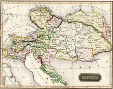
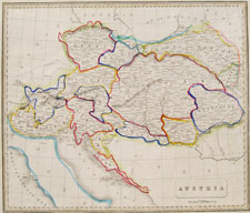
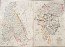
AUSTRIA-2 |
Austria
Ewing's New General Atlas...
Oliver and Boyd, Edinburgh, 1817
approx. 11.75 x 8.75 inches
|
| 
click thumbnail for more info
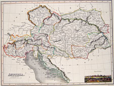
AUSTRIA-3 |
Austria
(vignette: "View of Vienna")
A General Atlas...
John Thomson & Co, Edinburgh
Baldwin, Cradock & Joy, London
John Cumming, Dublin
1817
approx. 13.25 x 10 inches
|
| 
click thumbnail for more info
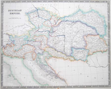
AUSTRIA-15 |
Henry Teesdale & Co., London
1831
approx. 18 3/4 x 15 1/4 inches
|
| 
click thumbnail for more info
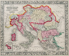
AUSTRIA-4 |
Baldwin and Cradock, London
1831
approx. 10.75 x 8.5 inches
|
| 
click thumbnail for more info
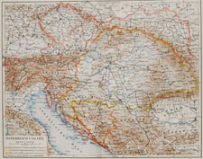
AUSTRIA-5 |
Leipzig, circa 1900
approx. 12.25 x 9.5 inches
|
| 
click thumbnail for more info
AUSTRIA-6 |
Austria
A New General Atlas, being a collection of Maps of the World & Quarters...
Thomas Johnson, London, 1848
approx. 16.25 x 13.5 inches
|
| 
click thumbnail for more info
AUSTRIA-7 |
S. Augustus Mitchell, Jr., Philadelphia, 1862
approx. 15.25 x 12.5 inches
|
| 
click thumbnail for more info
AUSTRIA-8 |
McPhun, 1863
approx. 16.5 x 13.75 inches
|
| 
click thumbnail for more info
AUSTRIA-9 |
Blackie and Son, London, 1860
approx. 21.5 x 15 inches
|
| 
click thumbnail for more info
AUSTRIA-10 |
Blackie and Son, London, 1860
approx. 21.5 x 15 inches
|
| 
click thumbnail for more info
AUSTRIA-11 |
Blackie and Son, London, 1882
approx. 21.5 x 15 inches
|
| 
click thumbnail for more info
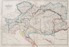
AUSTRIA-12 |
Austria
The National Atlas of Historical, Commercial, and Political Geography
Alexander Keith Johnston, Edinburgh, 1850
approx. 25.5 x 21 inches
|
| 
click thumbnail for more info
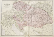
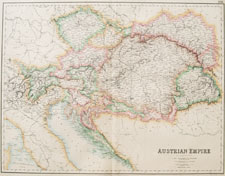
AUSTRIA-13 |
Archibald Fullarton and Co.,
London and Edinburgh, 1860
approx. 23.5 x 19 inches
|
| 
click thumbnail for more info
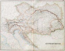
AUSTRIA-14 |
Archibald Fullarton and Co.,
London and Edinburgh, 1860
approx. 23.5 x 19 inches
|
| 
click thumbnail for more info
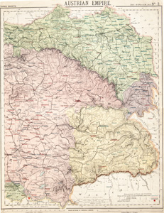
AUSTRIA-15 |
1884-1887, London
approx. 12 x 16.5 inches (30.5 x 42 cm)
|
| 
click thumbnail for more info
AUSTRIA-16 |
1884-1887, London
approx. 12.5 x 16.5 inches (32 x 42 cm)
|
| 
click thumbnail for more info
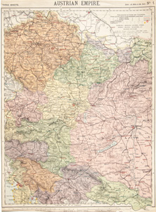
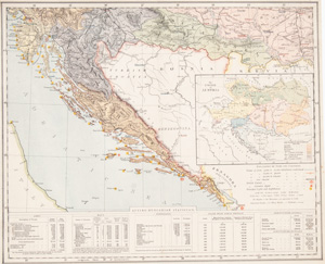
AUSTRIA-17 |
1884-1887, London
about 15 3/4 x 13 1/2 inches (40 x 34.2 cm)
|
| 
click thumbnail for more info
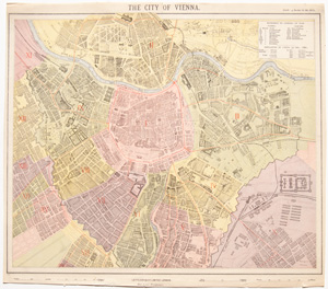
AUSTRIA-18 |
1884-1887, London
about 15 11/16 x 13 7/8 inches (39.7 x 35.1 cm)
|