SCANDINAVIA — DENMARK, NORWAY, SWEDEN, FINLAND |
Thumbnail
(Click to enlarge) |
Title / Publisher
Date
Size
in inches |
| 
click thumbnail for more info
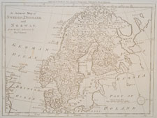
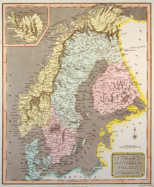
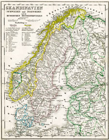
SCAN-1 |
1787-1790
approx. 15.25 x 9.5 inches
|
| 
click thumbnail for more info
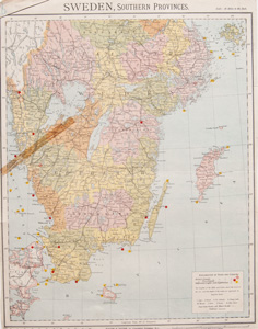
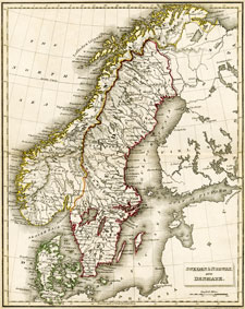
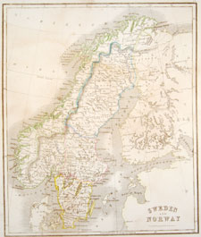
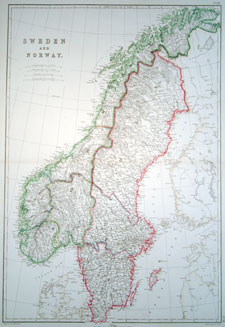
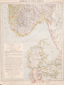
SCAN-2 |
1887, London
approx. 12 15/16 x 17 inches (33 x 43 cm)
|
| 
click thumbnail for more info
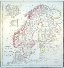
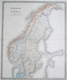
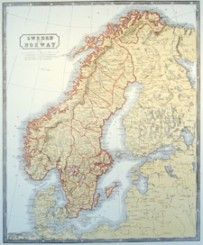
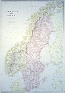
SCAN-3 |
1812, Paris (1812-1819)
approx. 19 x 13 inches
|
| 
click thumbnail for more info
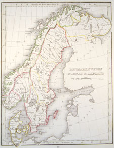
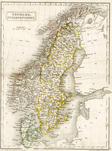
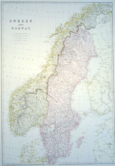
SCAN-4 |
early to mid 1800s
approx. 10.125 x 12.75 inches
|
| 
click thumbnail for more info
SCAN-5 |
1811, London
approx. 10 x 15.5 inches
|
| 
click thumbnail for more info
SCAN-6 |
Baldwin and Cradock, London, 1831
approx. 8.5 x 10.75 inches
|
| 
click thumbnail for more info
SCAN-16 |
Henry Teesdale and Co., London, 1831
approx. 18 3/4 x 15 1/4 inches
|
| 
click thumbnail for more info
SCAN-7 |
An Atlas of Modern Geograph by Samuel Butler, DD.
London: Longman, Brown, Green & Longmans, 1844
approx. 8.5 x 10.75 inches
|
| 
click thumbnail for more info
SCAN-8 |
Atlas der Erde und des Himmels
Weimar, Verlag des Geograph. Instituts, 1850
approx. 9 x 11 inches
|
| 
click thumbnail for more info
SCAN-9 |
William Home Lizars, London, circa 1850
approx. 9.5 x 12 inches
|
| 
click thumbnail for more info
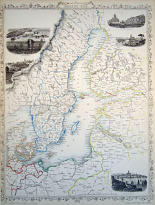
SCAN-10 |
Baltic Sea
(vignettes: Kronstadt, Revel, St. Petersburg, Abo, Helsingfors)
Tallis's Illustrated Atlas
John Tallis and Co.,
London Printing and Publishing Company, Ltd.
London, circa 1851
approx. 10.25 x 13.75 inches
|
| 
click thumbnail for more info
SCAN-11 |
McPhun's Maps of the World
1863
approx. 14.25 x 16.5 inches
|
| 
click thumbnail for more info
SCAN-12 |
The Imperial Atlas of Modern Geography
Blackie and Son; Glasgow, Edinburgh and London, 1860
approx. 15 x 21.5 inches
|
| 
click thumbnail for more info
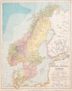
SCAN-13 |
The Comprehensive Atlas & Geography of the World
Blackie and Son; Glasgow, Edinburgh and London, 1882
approx. 15 x 22.5 inches
|
| 
click thumbnail for more info
SCAN-14 |
The Comprehensive Atlas & Geography of the World
Blackie and Son; Glasgow, Edinburgh and London, 1882
approx. 15 x 22.5 inches
|
|
click thumbnail for more info
SCAN-15 |
The Comprehensive Atlas & Geography of the World
Blackie and Son; Glasgow, Edinburgh and London, 1882
approx. 15 x 22.5 inches
|
| 
click thumbnail for more info
SCAN-16 |
1884, London
approx. 13 1/4 x 16 3/4 inches (33.5 x 42.3 cm)
|
| 
click thumbnail for more info
SCAN-17 |
1884, London
approx. 13 1/4 x 16 3/4 inches (33.5 x 42.3 cm)
|
 |
| NEXT PAGE OF SCANDINAVIAN MAPS (MAINLY JUST DENMARK) |