Navigation 2023

Rare prints and maps...Since 1918! Click here to go to Darvill's home page.

NEW WEBSITE COMING SOON!
Sign up for our email list! We will email you a Special Discount Code for your next purchase.


Greece & Balkan Peninsula header


Below are the available antique maps of Greece and the Balkans from Darvill's Rare Prints.

RARE AND ANTIQUE MAPS OF GREECE & THE BALKAN PENINSULA (page 1 of 2)
(click image for more information,
and/or to purchase the map )
Title / Publisher / Atlas or publication
Place and Date of publication
Sheet size in inches

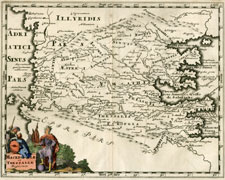
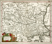
Cluver antique map of Greece and the Balkans
click for details

GREECE-1

Macedoniae et Thessaliae Regiones

Philippi Cluverii
Introductio in universam Geographiam

Amsterdam, 1697

approximately 12.25 x 9.25 inches

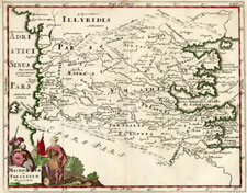
Cluver antique map of Greece and the Balkans
click for details

GREECE-2

Macedoniae et Thessaliae Regiones

Philippi Cluverii
Introductio in universam Geographiam

Amsterdam, 1697

approximately 12 x 9.25 inches

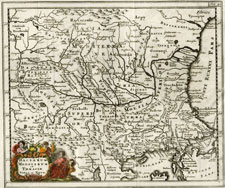
Cluver antique map of Greece and the Balkans
click for details

GREECE-3

Daciarum, Moesiarum et Thraciae

Philippi Cluverii
Introductio in universam Geographiam

Amsterdam, 1697

approximately 11.75 x 10 inches

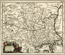
Cluver antique map of Greece and the Balkans

GREECE-4

Daciarum, Moesiarum et Thraciae

Philippi Cluverii
Introductio in universam Geographiam

Amsterdam, 1697

approximately 12.25 x 9.25 inches

Cluver antique map of Greece and the Balkans

GREECE-5

Daciarum, Moesiarum et Thraciae

Philippi Cluverii
Introductio in universam Geographiam

Amsterdam, 1697

approximately 11.75 x 9.25 inches

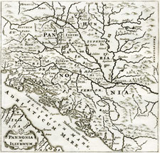
Cluver antique map of Greece and the Balkans
click for details

GREECE-6

Pannonia et Illyricum

Philippi Cluverii
Introductio in universam Geographiam

Amsterdam, 1701

approximately 5.125 x 5.25 inches

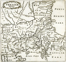
Cluver antique map of Greece and the Balkans
click for details

GREECE-7

Thraciae

Philippi Cluverii
Introductio in universam Geographiam

Amsterdam, 1701

approximately 5.125 x 5.25 inches

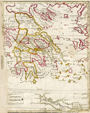
Ancient Greece antique map by Sharman?
click for details

GREECE-8

Ancient Greece

unidentified atlas, BJ Sharman?

1800?

approximately 7 3/8 x 11 1/8 inches

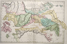
Ancient Greece antique map by Sharman?
click for details

GREECE-9

Achaia
Exhibiting the Travels of Anacharsis
between the Years CCC.LXIII & CCC.LVI before Christ

Atlas Classica...

1808, London, by Robert Wilkinson

approx. 18 3/4 x 13 1/2 inches

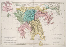
Ancient Greece antique map by Sharman?

GREECE-10

Peloponnesus
Exhibiting the Travels of Anacharsis
between the Years CCC.LXIII & CCC.LVI before Christ

Atlas Classica...

1808, London, by Robert Wilkinson

approx. 18 3/4 x 13 1/2 inches

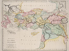
Ancient Greece antique map by Sharman?
click for details

GREECE-11

Reditus Decem Millium Graecorum

Atlas Classica...

1808, London, by Robert Wilkinson

approx. 10 3/4 x 13 1/2 inches

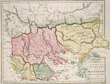
Ancient Greece antique map by Sharman?
click for details

GREECE-12

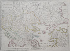
Graecia Pars Septentrionalis aliter Macedonia Thessalia & Epirus cum Thracia

Atlas Classica...

1808, London, by Robert Wilkinson

approx. 10 3/4 x 13 1/2 inches

Ancient Greece antique map by Sharman?
click for details

GREECE-13

Graecia Pars Septentrionalis
Auctore Guillemo Delisle

A Complete Body of Ancient Geography by Mons. D'Anville

1794 (1816), London, by Laurie and Whittle

approx. 28 1/2 x 21 1/2 inches

Ancient Greece antique map by Sharman?
click for details

GREECE-14

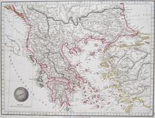
Greece

Outlines of the World

1825, London, by A. & S. Arrowsmith

approx. 14 3/4 x 11 1/8 inches

Ancient Greece antique map by Sharman?
click for details

GREECE-15

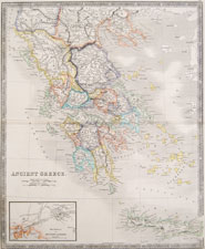
Ancient Greece

New General Atlas

1831, London, Henry Teesdale

approx. 18 3/4 x 15 1/4 inches

Ancient Greece antique map by Sharman?
click for details

GREECE-16

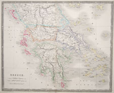
Greece

New General Atlas

1831, London, Henry Teesdale

approx. 18 3/4 x 15 1/4 inches

1 | 2 | next page

Antique and Vintage Maps home