Navigation 2023

Rare prints and maps...Since 1918! Click here to go to Darvill's home page.

Since Adirondack Retro acquired Darvill's Rare Prints in August of 2022, we have been working tirelessly on our New State-Of-The Art Website. We are excited to announce that it is now up and running and that our massive inventory of Antique Prints and Rare Maps are being transferred over to the new site daily. In addition to the nearly 500,000 prints found on www.DarvillsRarePrints.com, Adirondack Retro offers an eclectic selection of Antique and Vintage Advertisements along with their Limited Edition Giclee Prints. During this transition, customers will still be able to shop and make purchases on www.DarvillsRarePrints.com.

Sign up for our Mailing List and receive our Adirondack Retro Newsletter. When you sign up, we will email you a coupon code for you to get 15% OFF your first order at AdirondackRetro.com.



Below are the available antique maps of Spain and Portugal from Darvill's Rare Prints.

 
RARE AND ANTIQUE MAPS OF SPAIN AND PORTUGAL
(click image for more information,
and/or to purchase the map )
Title / Publisher / Atlas or publication
Place (Date of publication)
Size in inches

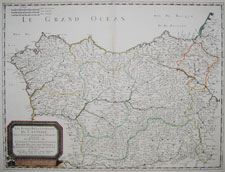
Northwest Spain by Sanson
click for details

SPAIN/PORTUGAL-1

"Les Etats de la Couronne de Castille, dans les parties plus Septentrionales de l'Espagne, et la ou sont les Royaumes de Castille Vielle, Leon, Galice, Asturie, Biscaie, Seign, Navarra"

Nicolas Sanson, cartographer to the King of France
Cartes Generales de Toutes les Parties du Monde

Paris, 1652 (1664-1666)

approximately 17 1/2 x 23 1/2 inches (approx. 44 x 60 cm)

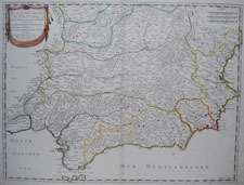
Southern Spain by Sanson
click for details

SPAIN/PORTUGAL-2

"Les Etats de la Couronne de Castille, dans les parties plus Meridionales de l'Espagne, et la ou sont Castille Nouvelle, Andalousie, Grenade, et Murcie"

Nicolas Sanson, cartographer to the King of France
Cartes Generales de Toutes les Parties du Monde

Paris, 1652 (1664-1666)

approximately 17 1/2 x 23 1/2 inches (approx. 44 x 60 cm)

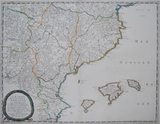
Southeastern Spain by Sanson
click for details

SPAIN/PORTUGAL-3

"Les Etats de la Couronne d'Arragon en Espagne ou sont l'Arragon Royaume, la Catalogne Principte, la Valence Royaume, et les Isles de Maiorque, etc. "

Nicolas Sanson, cartographer to the King of France
Cartes Generales de Toutes les Parties du Monde

Paris, 1653 (1664-1666)

approximately 17 1/2 x 23 1/2 inches (approx. 44 x 60 cm)

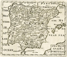
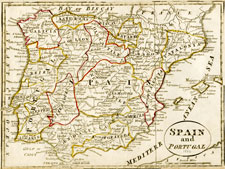
1749 Spain and Portugal map - small
click for details

SPAIN/PORTUGAL-4

"A New Map of Spain & Portugal from the latest Observations"

unknown publication

1749?

approx. 9 1/4 x 8 inches

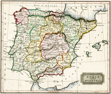
BJ Sharman map of Spain and Portugal 1800
click for details

SPAIN/PORTUGAL-5

"Spain and Portugal"

unknown — BJ Sharman?

1800?

approx. 11 1/4 x 7 1/2 inches

1817 Spain map by Ewing
click for details

SPAIN/PORTUGAL-6

"Spain and Portugal"

Ewing's New General Atlas; containing Distinct Maps of all the Principal States and Kingdoms throughout the World: in which the European Boundaries, as settled by the Treaty of Paris and Congress of Vienna, are accurately delineated

1817

approx. 11 1/4 x 8 3/4 inches

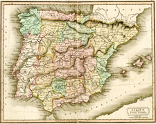
Dr. Brooke's New General Atlas 1817
click for details

SPAIN/PORTUGAL-7

"Spain and Portugal"

Dr. Brooke's General Atlas of Modern Geography
(London. William Darton, Repertory of Genius)

1817

approx. 9 5/8 x 8 1/8 inches

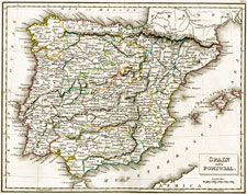
Russell's General Atlas of Modern Geography
click for details

SPAIN/PORTUGAL-8

"Spain and Portugal"

Russell's General Atlas of Modern Geography
(London. Baldwin and Cradock)

1831

approx. 10 3/4 x 8 1/2 inches

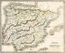
Russell's General Atlas of Modern Geography
click for details

SPAIN/PORTUGAL-9

"Spain and Portugal"

An Atlas of Modern Geography by Samuel Butler, DD.
(London, Longman, Brown, Green & Longmans)

1844

approx. 10 3/4 x 8 1/2 inches

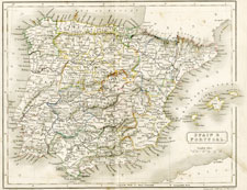
Lizar's General Atlas ca 1850
click for details

SPAIN/PORTUGAL-10

"Spain and Portugal"

General Atlas
(Drawn & Engraved by W.H. Lizars)

circa 1825-1850

approx. 12 1/4 x 9 inches

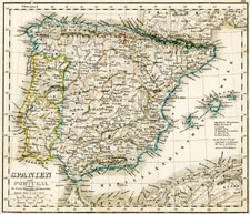
Spanien und Portugal landkarte von 1850
click for details

SPAIN/PORTUGAL-11

"Spanien und Portugal"

Atlas der Erde und des Himmels
(H. Kiepert)

Weimar, 1850

approx. 10 1/4 x 8 1/2 inches
[1]

Antique and Vintage Maps home